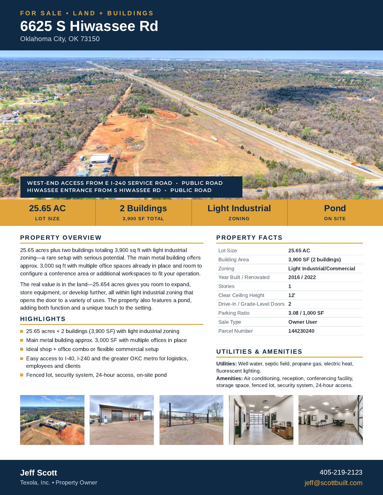
Land for sale
active ListedLand for Sale in Oklahoma City, OK
More Oklahoma City commercial real estateOklahoma City commercial land
Asking price
Ask for price
Overview
- 25 acres with a shop on I-240
- Gated access from I-240 and Hiwassee Road
- Includes a shop, office, and yard
25 acres with a shop on I-240 in Oklahoma City, for sale. The property has access from I-240 and from Hiwassee Road, with a gated entrance, shop, office, and yard. It works well as a construction yard, equipment storage, or similar commercial use. Call for details.
Property details
Building
- Stories
- 1
- Parking Ratio
- 3.08 per 1k sqft
Utilities
- Water
- Well
- Sewer
- Septic
Land Features
- Utilities at Site
- Yes
Public record
County record
Researched Nov 9, 2026Tax lots
1 lot| Parcel number | Acres | Assessed | Market | Annual tax |
|---|---|---|---|---|
| R1442302401 | 24.41 | $62,130 | $833,000 | $7,978 |
Recorded sales
| Date | Price | Instrument | Document | Buyer | Seller |
|---|---|---|---|---|---|
| Aug 25, 20221 | $487,500 | Deeds | Book 15254 Page 1691 | TEXOLA INC | RUSTIC CANNIBAL PROPERTIES LLC |
| Aug 17, 20151 | $200,000 | Deeds | Book 12911 Page 602 | RUSTIC CANNIBAL PROPERTIES LLC | IBISON EUGENE ETAL IBISON KAREN |
| Aug 10, 20071 | — | Hmstd Off & | Book 10576 Page 1236 | IBISON EUGENE ETAL IBISON KAREN | IBISON EUGENE W SR |
Sources
- 1 docs.oklahomacounty.org · docs.oklahomacounty.org
Figures as the county publishes them. Each source links to the page it was read from and, where the county published a document, to a copy kept on the day it was read.
Due diligence
 Find a commercial property inspector Book a certified commercial inspector in this area.
 Investment Property Analyzer Run the numbers on this property before you offer. Free.
From our partner CCPIA — the Certified Commercial Property Inspectors Association
Location & area
Getting there
Straight-line distance- Highway exit
- I 240 / OK 3 Exit 14 · 0.7 mi
- Airport
- Tinker Air Force Base (TIK) · 5.5 mi
- International airport
- Will Rogers International Airport (OKC) · 17.1 mi
Within a mile: 0 restaurants · 0 shops · 0 grocery stores · 0 schools · 0 parks
Distances and places from © OpenStreetMap contributors.
Demographics
U.S. Census ACS · 2019–2023 · LEHD| Statistic | 1 mi | 3 mi | 5 mi |
|---|---|---|---|
| Population | 761 | 8,440 | 34,419 |
| Jobs (people working here) | 57 | 1,123 | 4,426 |
| Daytime population (est.) | 501 | 5,996 | 24,690 |
| Median household income | $83,522 | $111,824 | $96,786 |
Household income
Share of households · 1 mi- Under $25k
- 0%
- 0
- $25k–$50k
- 19%
- 46
- $50k–$100k
- 49%
- 119
- $100k–$200k
- 15%
- 37
- $200k+
- 17%
- 41
Population by age
Share of residents · 1 mi- Under 18
- 28%
- 216
- 18–24
- 4%
- 30
- 25–34
- 13%
- 98
- 35–44
- 10%
- 78
- 45–54
- 17%
- 126
- 55–64
- 12%
- 92
- 65–74
- 4%
- 32
- 75+
- 12%
- 89
Housing
Share of housing units · 1 mi- Owner occupied
- 80%
- 208
- Renter occupied
- 14%
- 35
- Vacant
- 6%
- 16
Median income by age
Age of householder · 1 mi- 25–44
- $84,469
- 45–64
- $198,749
- 65+
- $60,469
Jobs by industry
Share of jobs · 1 mi- Retail, food & lodging
- 11%
- 6
- Health care
- 0%
- 0
- Education
- 4%
- 2
- Professional & finance
- 0%
- 0
- Construction & manufacturing
- 82%
- 47
- Wholesale & logistics
- 0%
- 0
- Government
- 0%
- 0
- Other services
- 4%
- 2
Education
Share of adults 25+ · 1 mi- No HS diploma
- 7%
- 38
- High school
- 28%
- 144
- Some college
- 39%
- 200
- Bachelor's
- 21%
- 107
- Graduate
- 5%
- 26
Race & ethnicity
Share of residents · 1 mi- White
- 77%
- 587
- Black or African American
- 2%
- 16
- Asian
- 0%
- 0
- Two or more races
- 20%
- 152
- Other
- 1%
- 6
Hispanic or Latino, of any race 10%
Natural hazard risk
FEMA National Risk Index · December 2025- Overall
- Low
- Tornado
- Moderate
- Hail
- Moderate
- Heat wave
- Moderate
- Ice storm
- Moderate
- Flooding (inland)
- Low
- Wildfire
- Low
- Cold wave
- Low
- Winter weather
- Low
- Hurricane
- Very Low
- Strong wind
- Very Low
- Lightning
- Very Low
- Earthquake
- Very Low
- Landslide
- Very Low
Ratings are for the census tract, relative to all U.S. tracts — not a parcel-level model.
- EPA-Tracked Facilities Within 1 Mile
- 1
- Toxic-Release Facilities Within 1 Mile
- 0
- EPA Severe Violators Within 1 Mile
- 0
- Open Leaking-Tank Cases Within ½ Mile
- 0
- Leaking-Tank Releases Within ½ Mile
- 0
- Underground Tank Sites Within ¼ Mile
- 0
- In FEMA Special Flood Hazard Area
- No
Location & Zoning
- FEMA Flood Zone
- X
- Opportunity Zone
- No
Public data for 6625 South Hiwassee Road — the building's own page, which stays up after this listing closes.